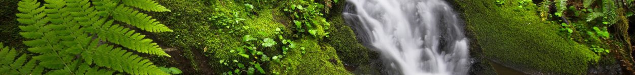
This 675-acre multi-use park is adjacent to the Cedar River in the middle of Muscatine County. The mix of flood plain forest, open fields, creeks, and wetlands provides a variety of outdoor recreational opportunities.
Habitat & Features
- 675 acres
- Cedar River
- Timber
- Wetlands
- Creeks
- Reconstructed prairie
- Flat terrain
- Food plots
Amenities & Facilities

- Campgrounds
- Picnic shelters – Reserve shelter
- Playgrounds
- Saulsbury Lodge
- Restrooms/Showers
- Handicapped accessible fishing dock
- Boat ramps to Cedar River and Chicken Creek
Activities
- Camping
- Picnicking
- Fishing
- Hiking
- Horseback riding – Download information sheet Go to map
- Hunting/trapping
- Nature study
- Geocaching
- Boating (Chicken Creek and Cedar River)
- Canoeing/kayaking – rent canoes/kayaks
Rules & Regulations
- Area closes 10:30 pm daily, except for registered campers
- Pets must be leashed, except in public hunting area
- Park in designated parking areas only
- No target shooting allowed
- All applicable Iowa hunting laws and fishing laws apply
- Complete County Conservation rules and regulations
Other Info
This park is named for the old Saulsbury Bridge which used to cross the Cedar River at this location. Closed to vehicle traffic in 1965, all but two spans burned in 1977. The last two spans are open to foot traffic and offer scenic views of, and fishing access to, the Cedar River.
Go to Saulsbury Bridge Hunting page
Go to Saulsbury Bridge Camping page
Location & Maps
- 2007 Saulsbury Road, Muscatine, Iowa 52761
- From Highway 61 in Muscatine go 2.5 miles north on Mulberry Rd., then 4 miles west on Saulsbury Rd.
- Map of Saulsbury – aerial photo with trails, boundaries, etc.
Disclaimer: This map does not show the correct boundaries for the Saulsbury Bridge Recreation area. See the Park Map for the correct boundaries.


You must be logged in to post a comment.